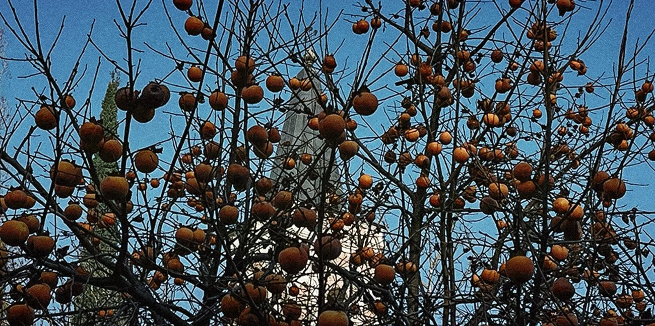

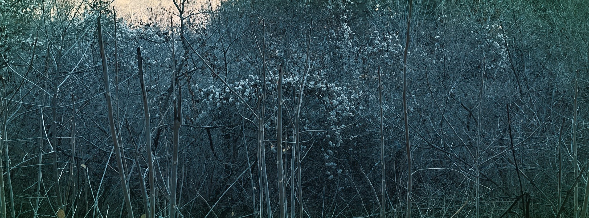


![The town has an area of 2.978 ha with 24.3% being residential.[7] Signagi is approximately 113 km southeast of Tbilisi, the capital of Georgia. Signagi District is adjacent, on the town’s east and southwest sides. Signagi is situated in the eastern](https://images.squarespace-cdn.com/content/v1/5b46661989c172b38aa8884e/1672992446349-E8FVJ2XYSABFRUIS72RC/IMG_1848.JPG)
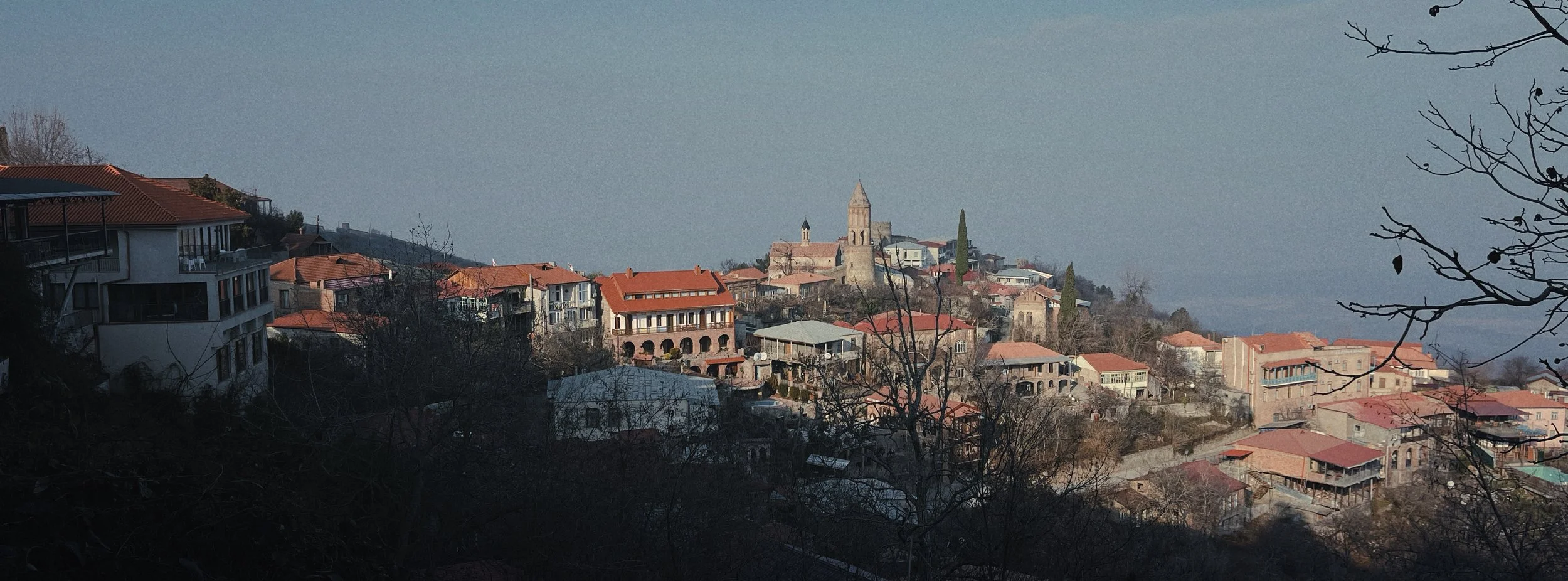


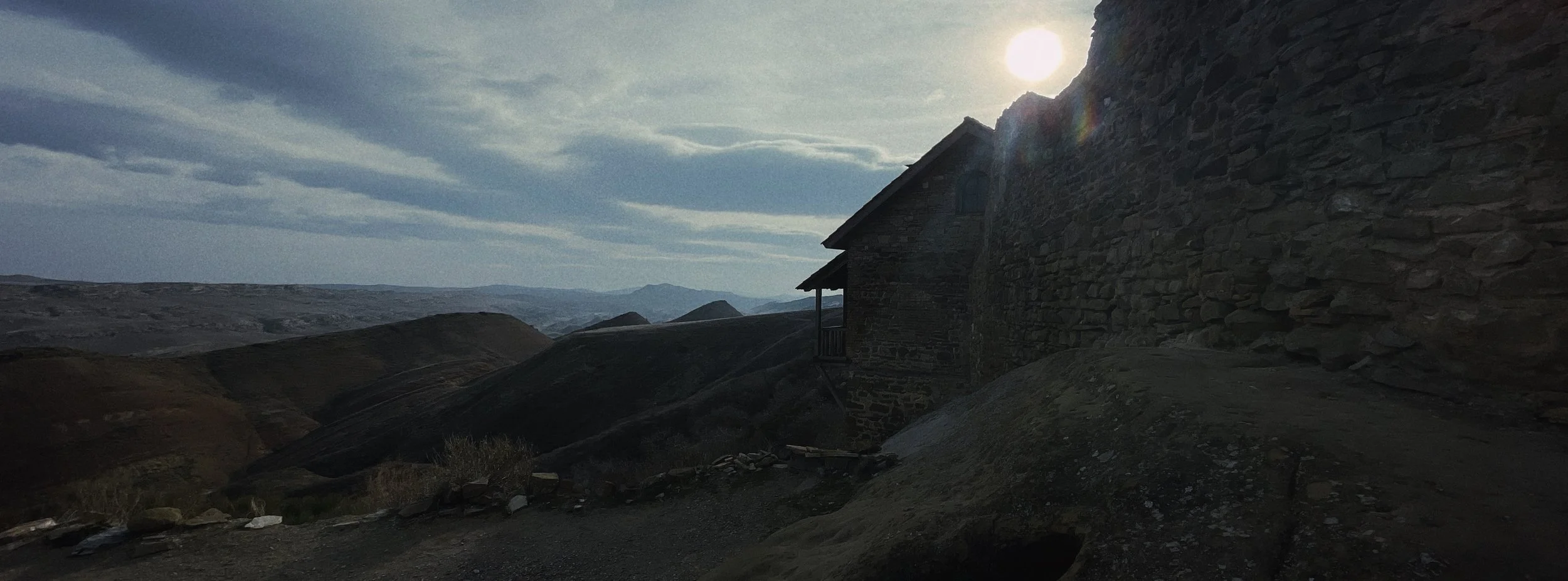
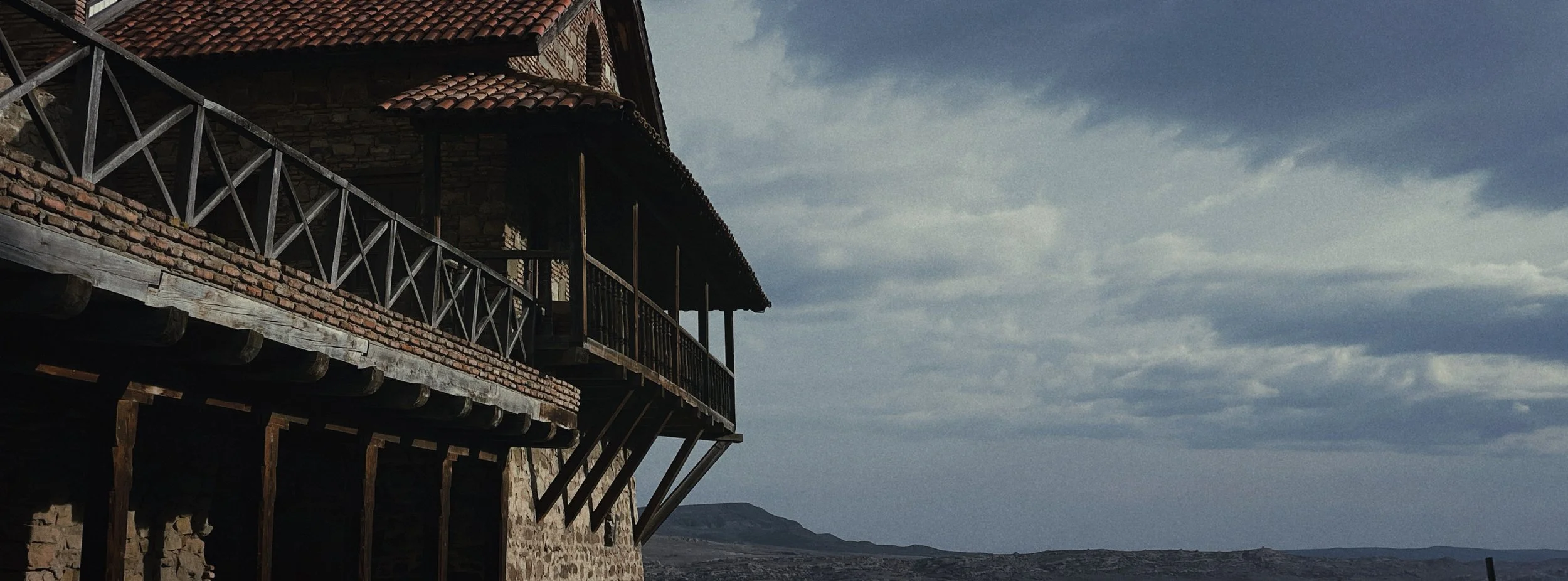
The town has an area of 2.978 ha with 24.3% being residential.[7] Signagi is approximately 113 km southeast of Tbilisi, the capital of Georgia. Signagi District is adjacent, on the town’s east and southwest sides. Signagi is situated in the eastern foothills of the Gombori Range, a watershed between the Iori and Alazani valleys, in a productive agricultural and fruit-growing region. At an elevation of about 790 m above sea level, the town overlooks the Alazani Valley and faces the Greater Caucasus mountains.
All footage was shot with an iPhone 12 Pro Max.
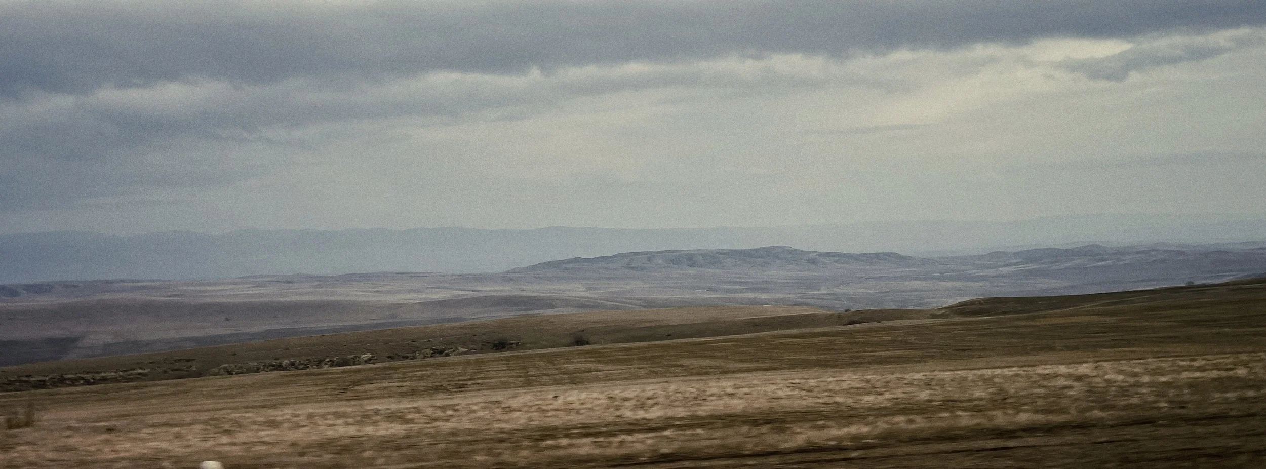
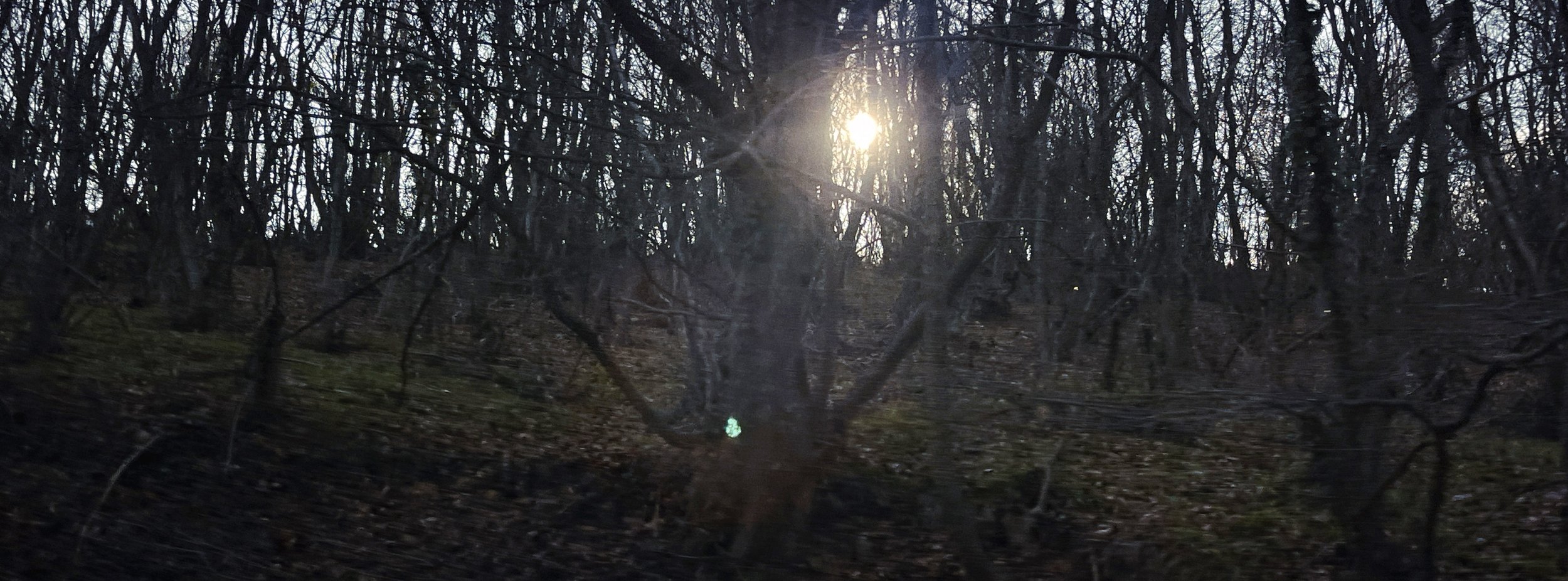
Iphone 12. 26mm f1.6
All footage was shot with an iPhone 12 Pro Max.
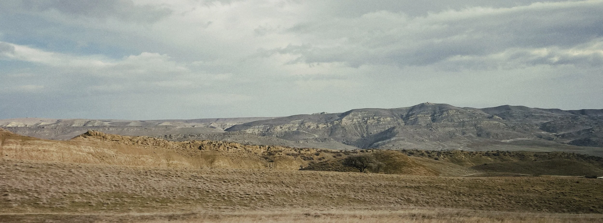
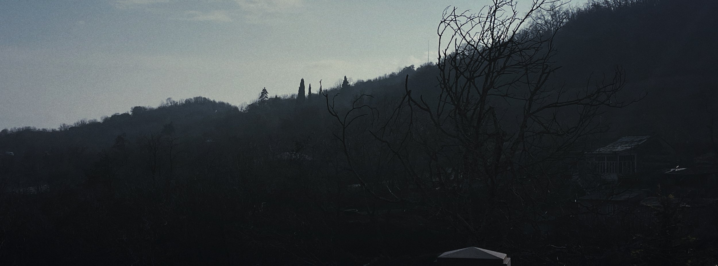
Iphone 12. 26mm f1.6
The town has an area of 2.978 ha with 24.3% being residential.[7] Signagi is approximately 113 km southeast of Tbilisi, the capital of Georgia. Signagi District is adjacent, on the town’s east and southwest sides. Signagi is situated in the eastern foothills of the Gombori Range, a watershed between the Iori and Alazani valleys, in a productive agricultural and fruit-growing region. At an elevation of about 790 m above sea level, the town overlooks the Alazani Valley and faces the Greater Caucasus mountains.
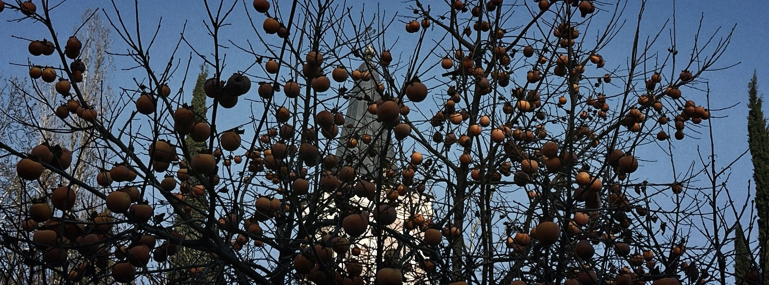
Signagi is located in the Kakheti region of Georgia, first settled in the Paleolithic period. Throughout its history, Signagi or Sighnaghi was known to the local population as Kambechovani, and later as Kisikhi or Kisiki. The word Sighnaghi in the Turkic language means shelter or trench. Signagi as a settlement was first recorded in the early 18th century. In 1762, King Heraclius II of Georgia sponsored the construction of the town and erected a fortress to defend the area from marauding attacks by Dagestani tribesmen.