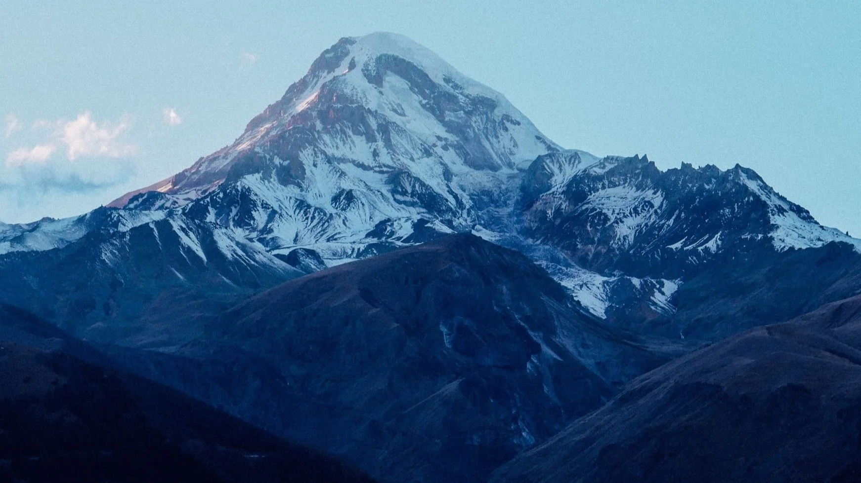
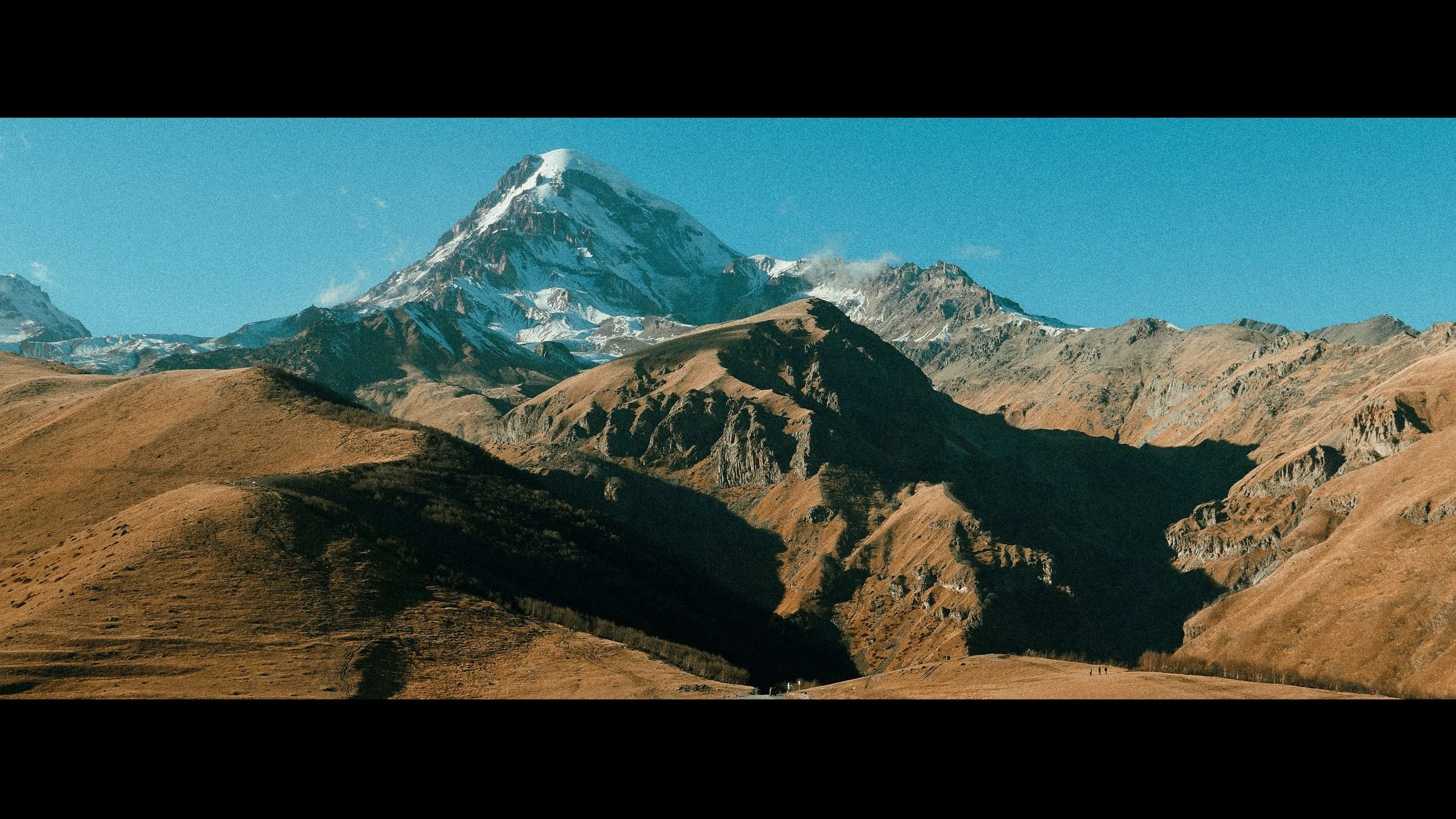
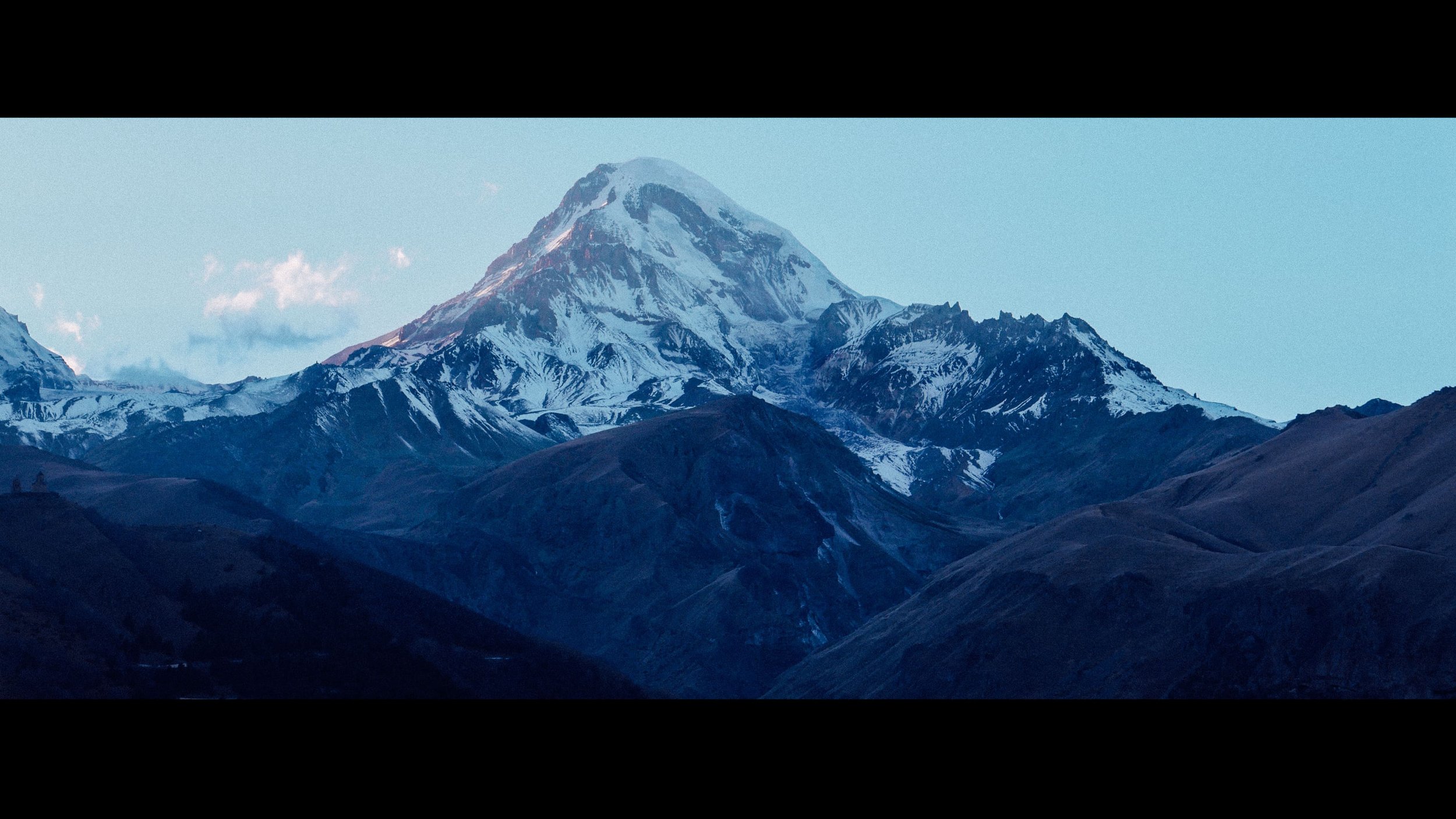


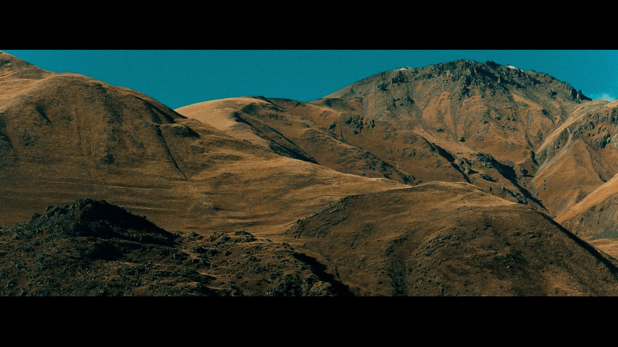
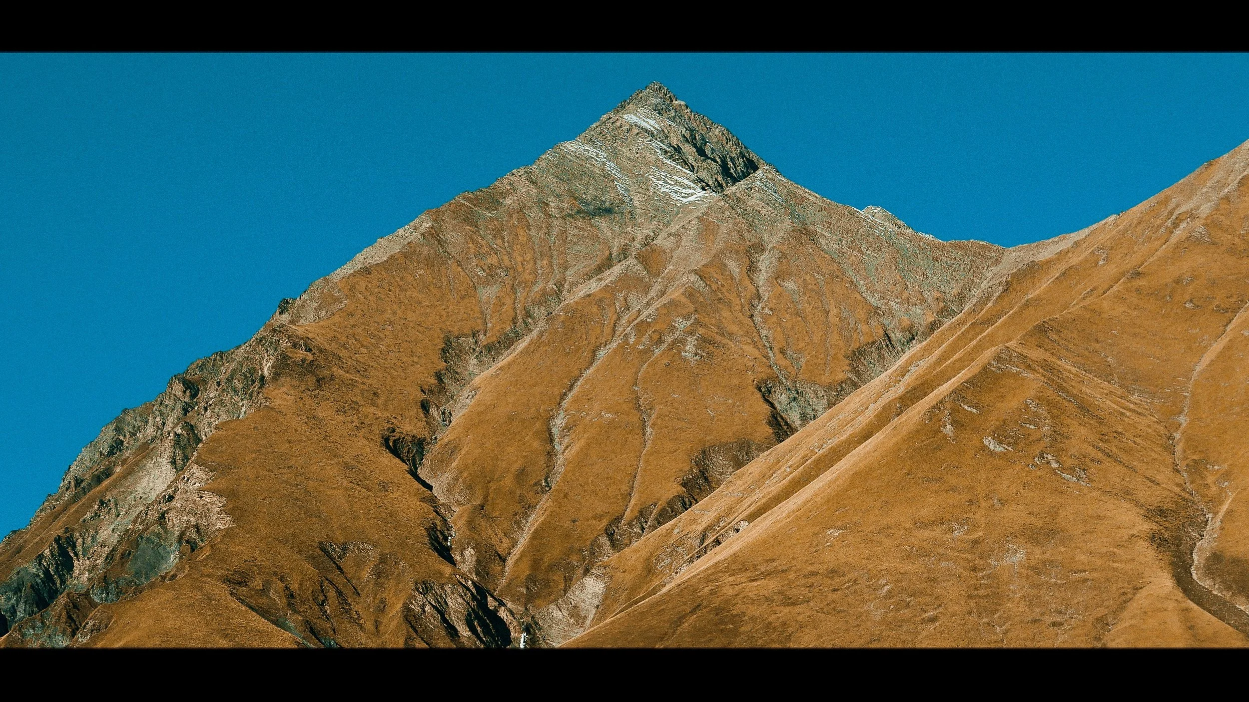
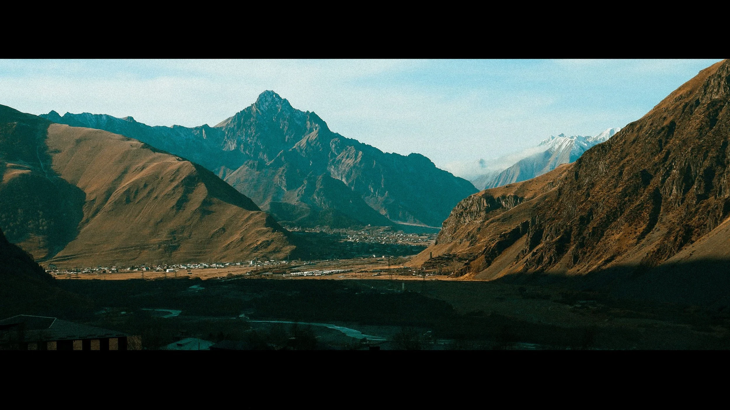
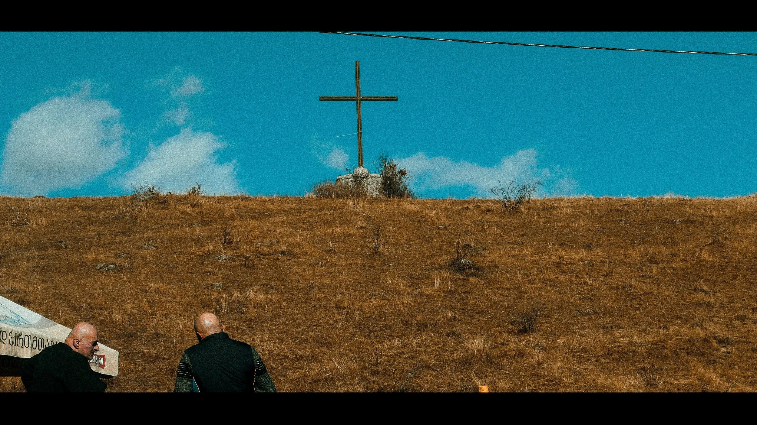

KAZBEGI National Park is located on the northern slopes of the mighty Caucasus range, and its protected area covers a total of over 8,700 hectares. At 5,047 metres above sea level, Kazbegi Mountain (or Mkinvartsveri) is the third highest mountain in Georgia, and is surrounded by myths and religious tradition. According to Greek mythology, as punishment for teaching mankind how to make fire, the Titan Prometheus was chained to a mountainside in the Caucasus for all eternity. According to Georgian stories, it was the icy slopes of Kazbegi to which he was chained. Prometheus (known as Amirani in Georgia) was supposedly imprisoned in a cave 4,000 meters high.
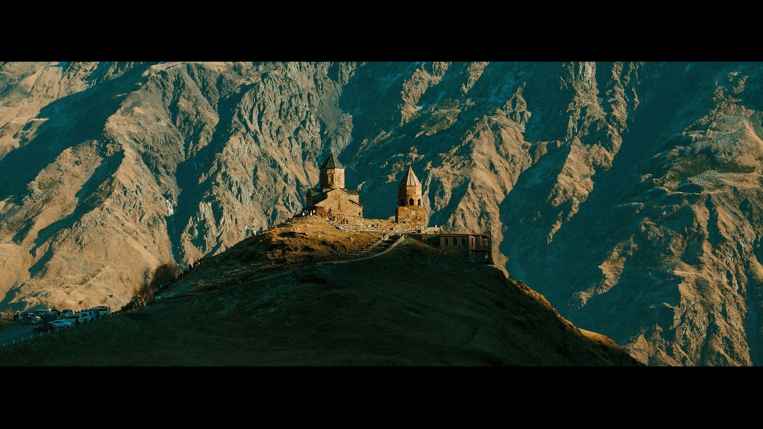
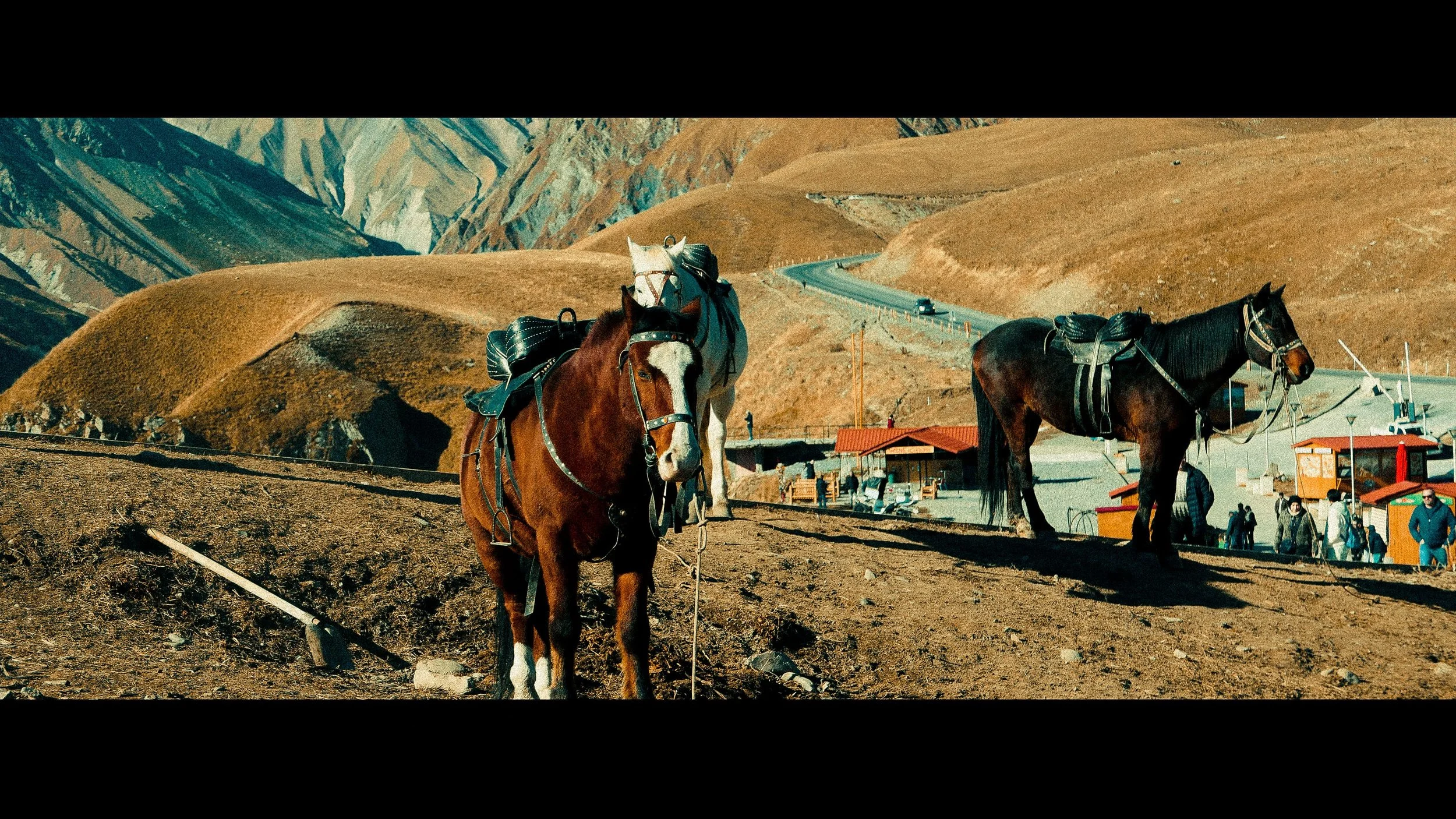
This architectural complex from the XIV century is located in the village of Gergeti, 6 km from the town of Stepantsminda, at a height of 2200 m. The complex includes Holy Trinity Cathedral, constructed in the XIV century, the bell tower built in the XIV century, and clergy houses from the XV century. You can hike up to the complex in about two hours, hire a driver, or even rent a horse!
Camera Leica 25-100 mm
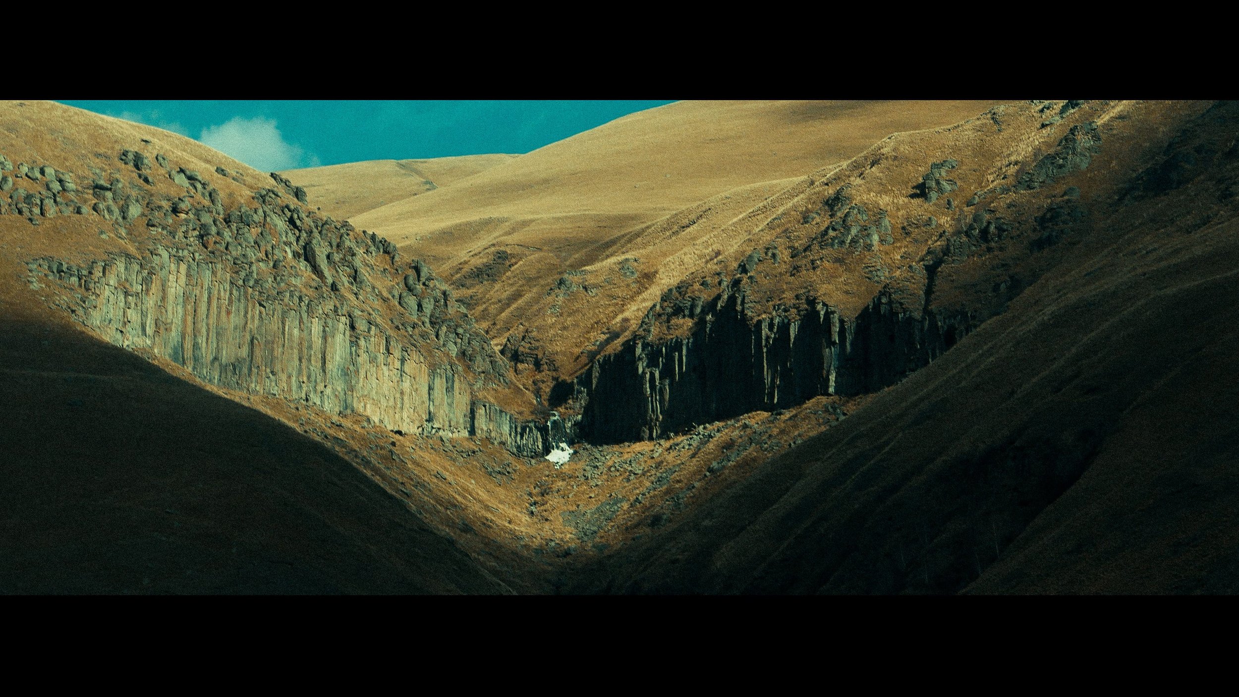
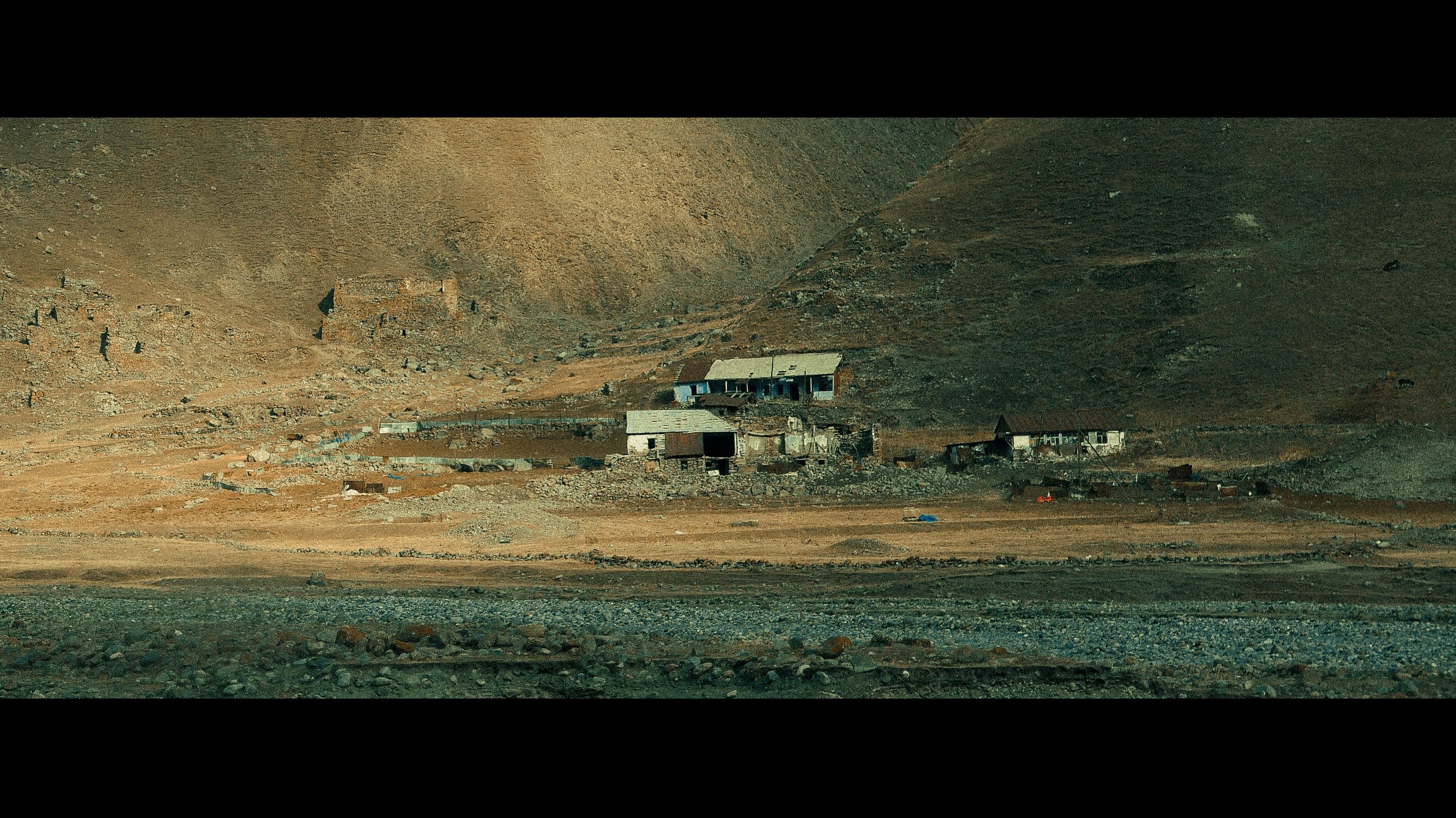
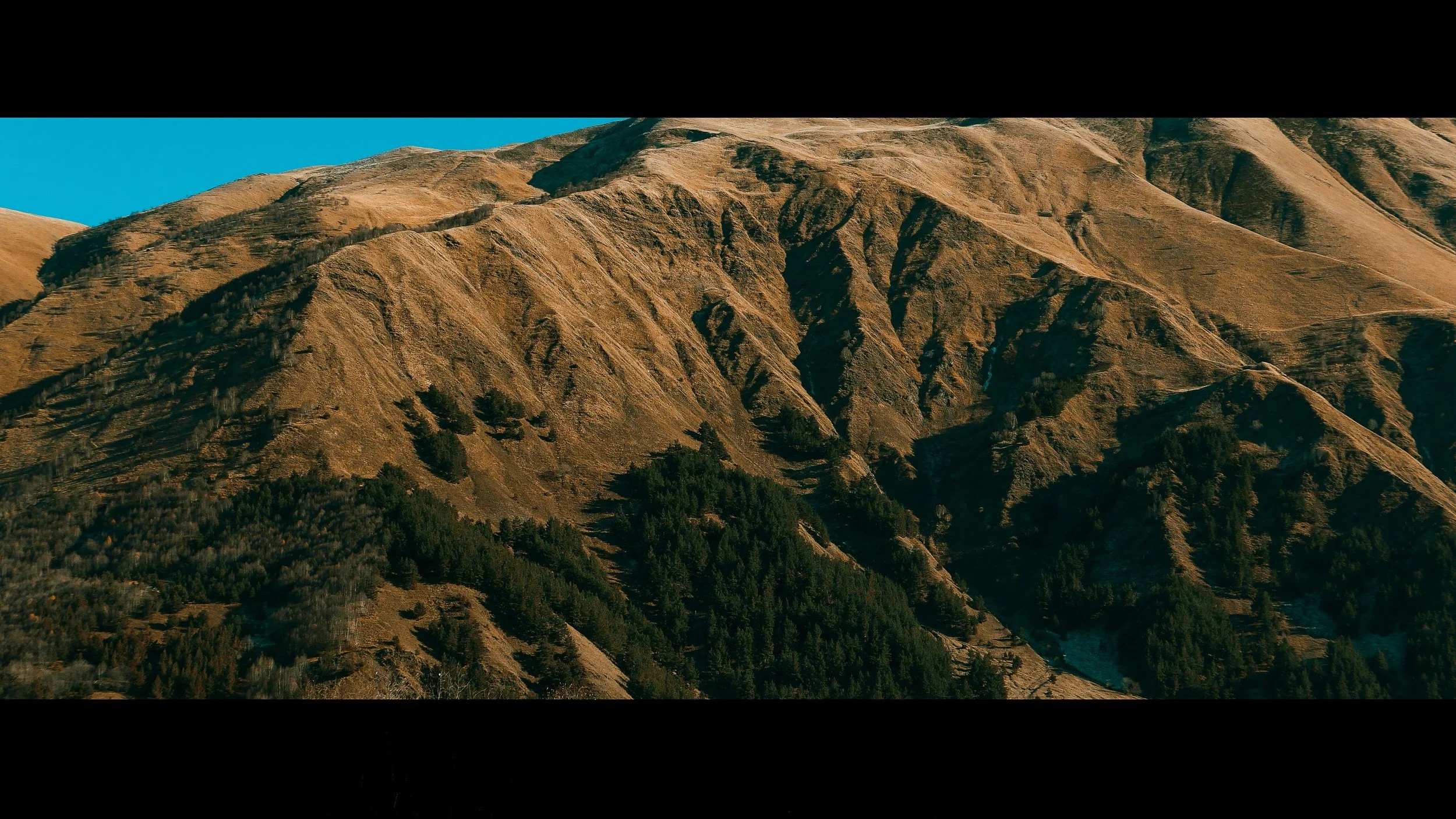
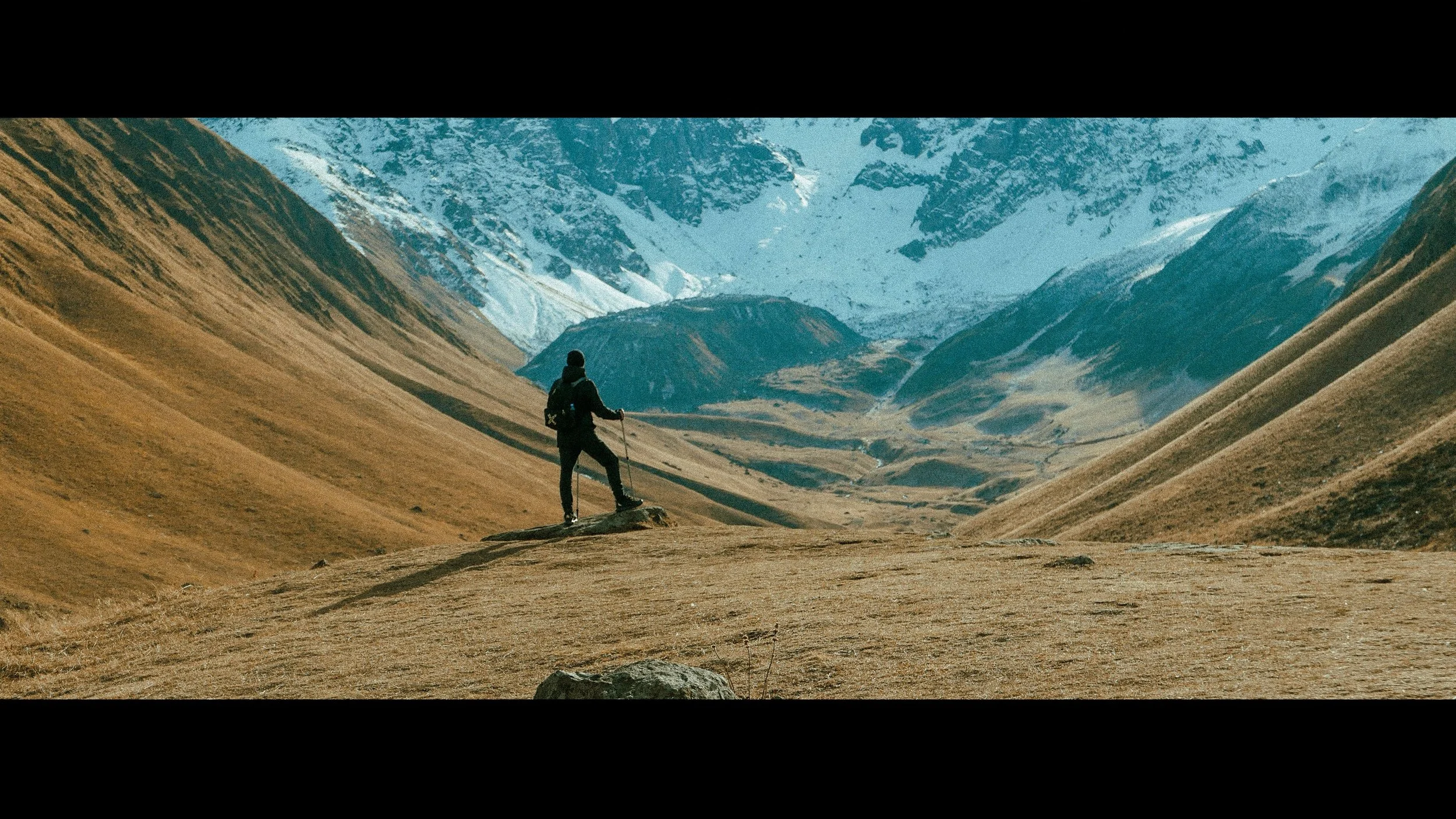
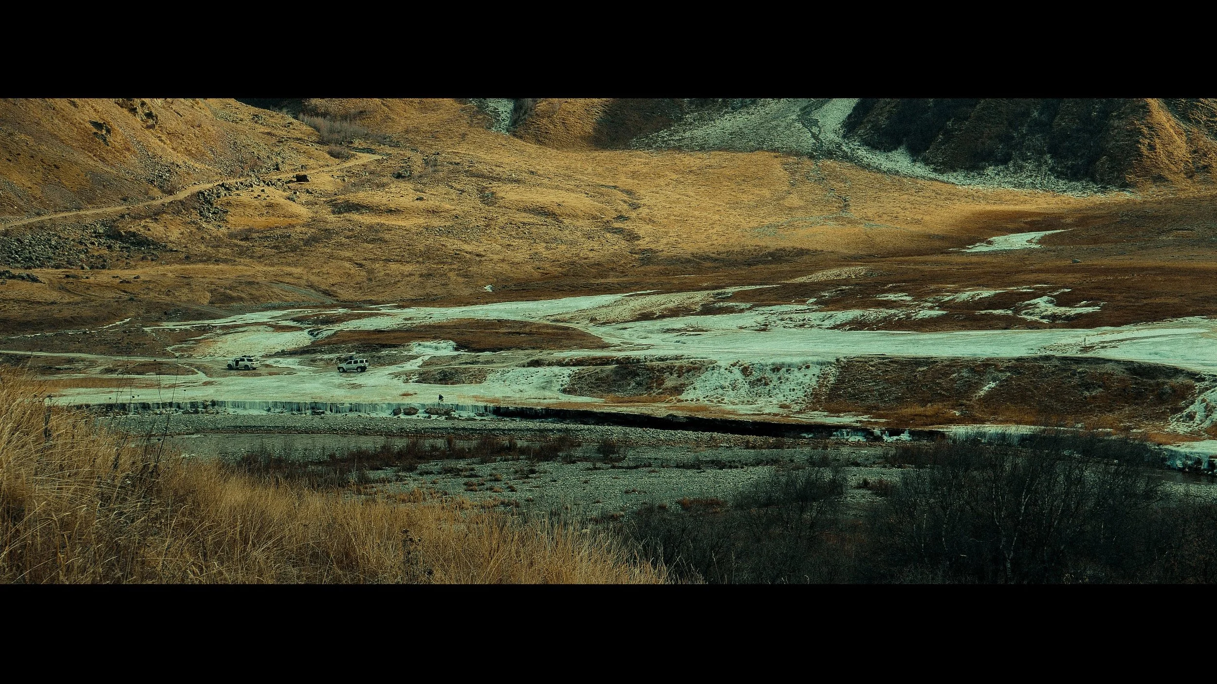
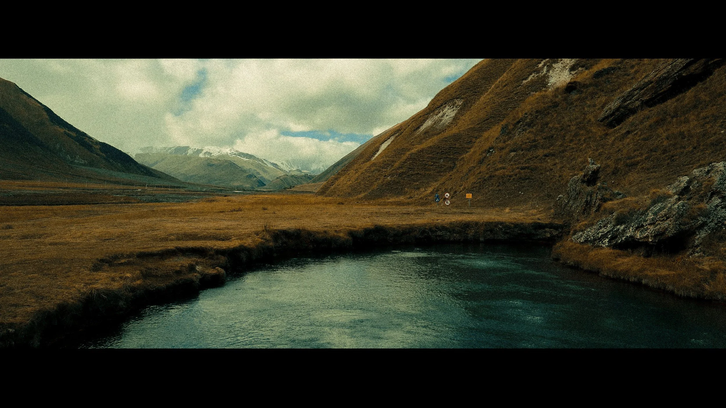
You will encounter plenty of historic and cultural sites here, including abandoned villages, colorful sediment deposits from mineral waters, and glacial and river deposits. Truso Gorge is rich in carbonated mineral waters. You will also find birch forests throughout.
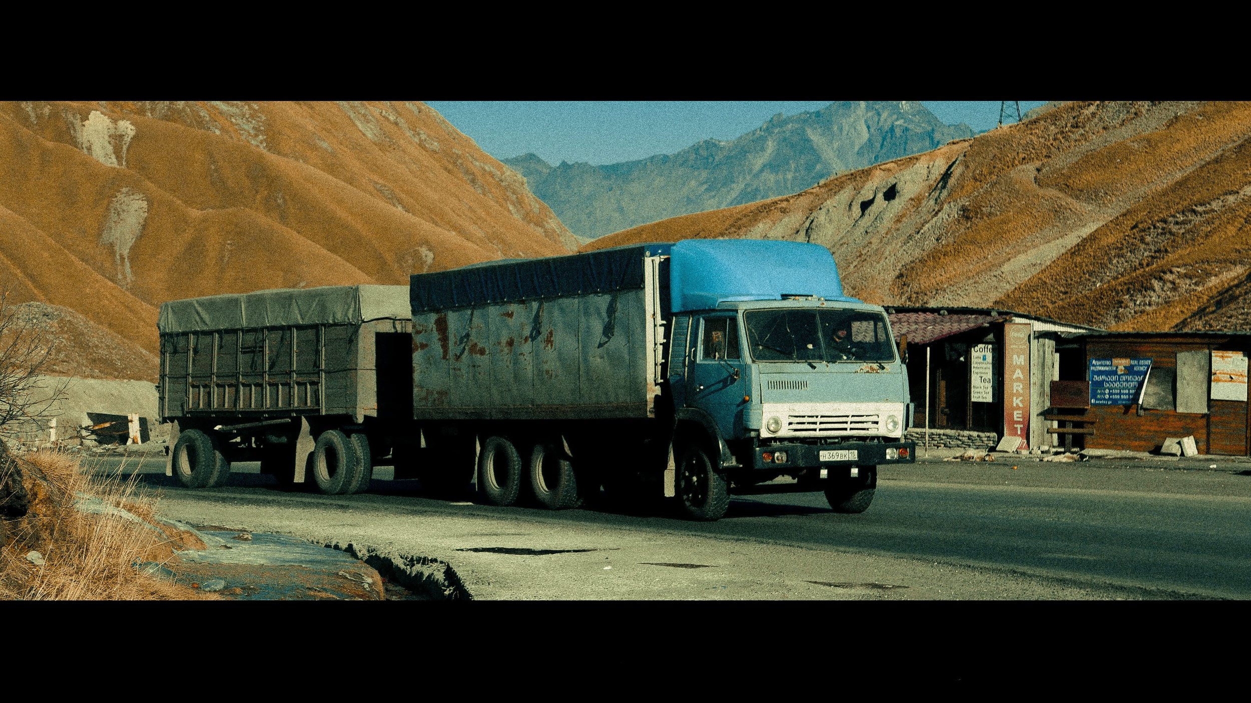
The waterfall is located in the village of Gveleti, 7 km from the town of Stepantsminda. You must first drive through the stunning Dariali Gorge, from which a short, leisurely hike up a narrow footpath leads the way to the Gveleti waterfall. Gveleti means "place of snakes" in Georgian, so keep an eye out for local wildlife!
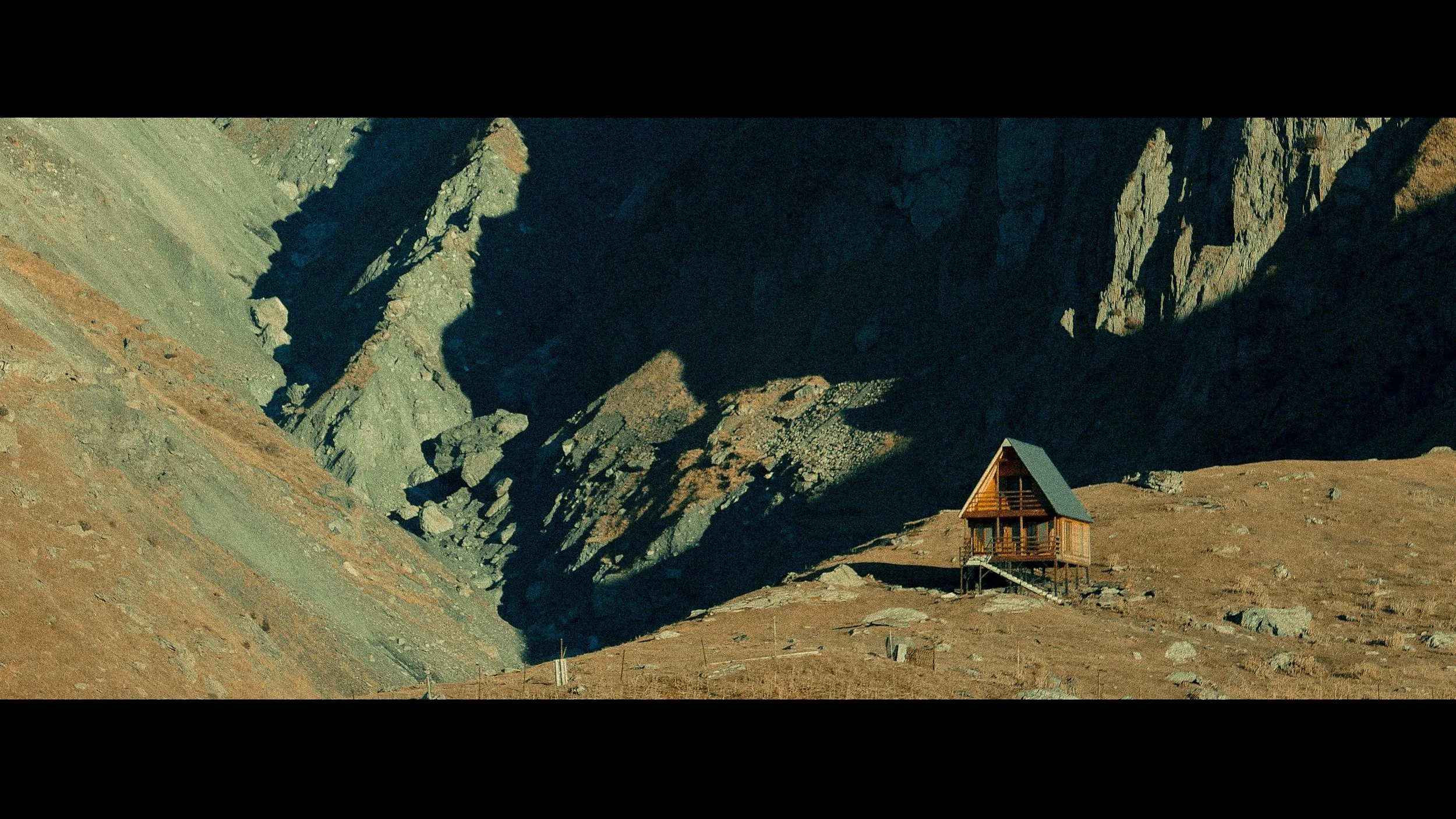
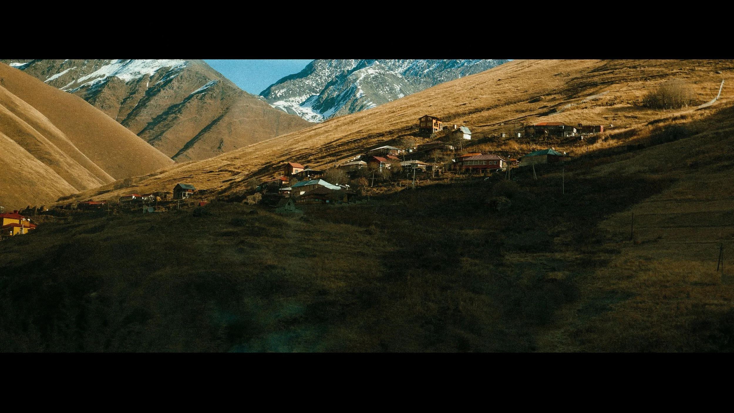
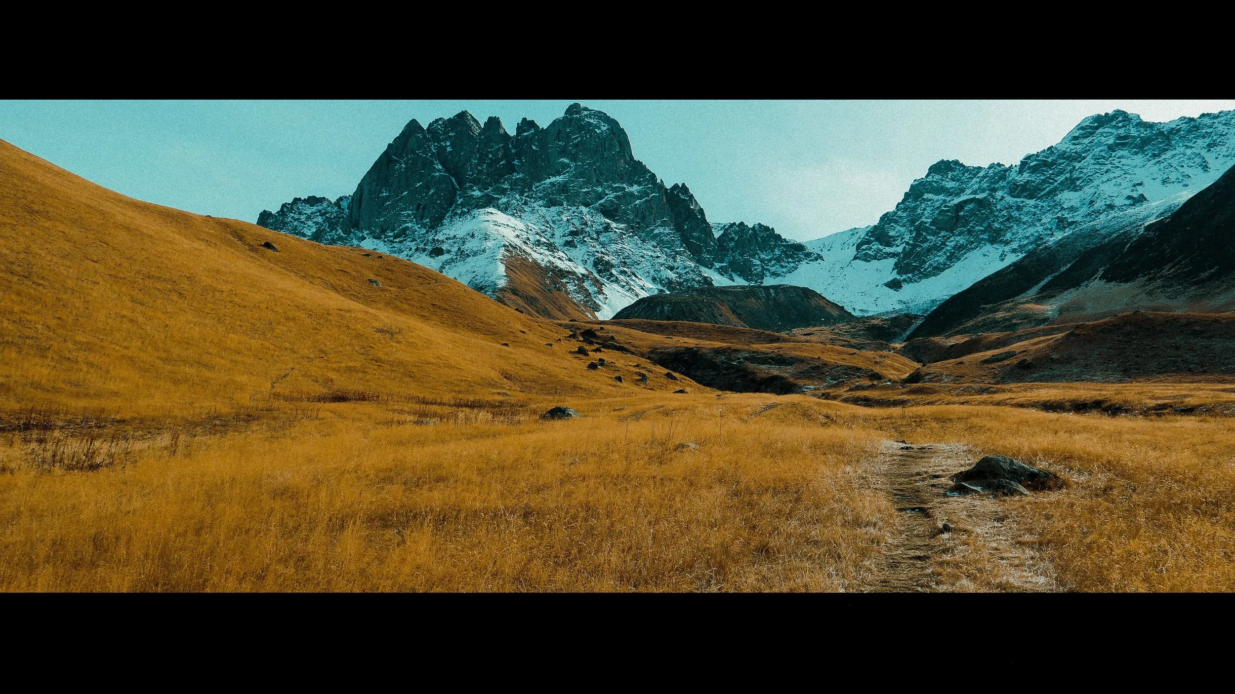
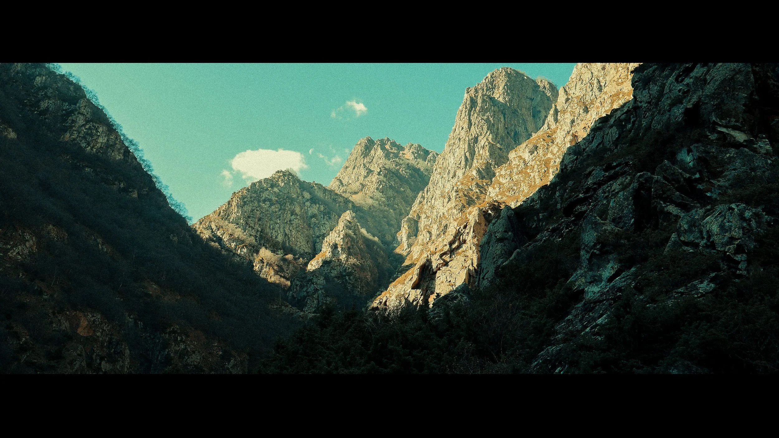
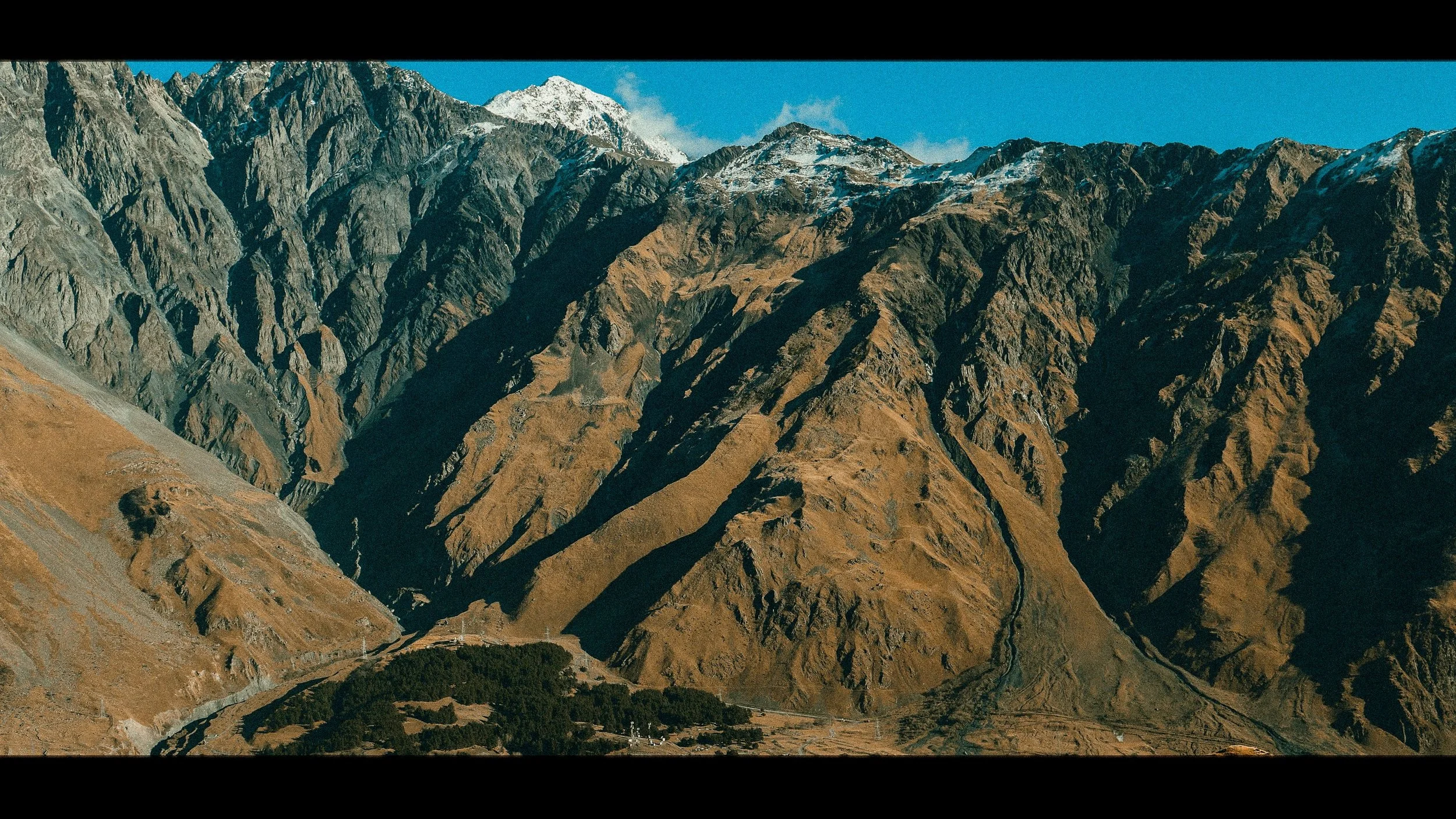
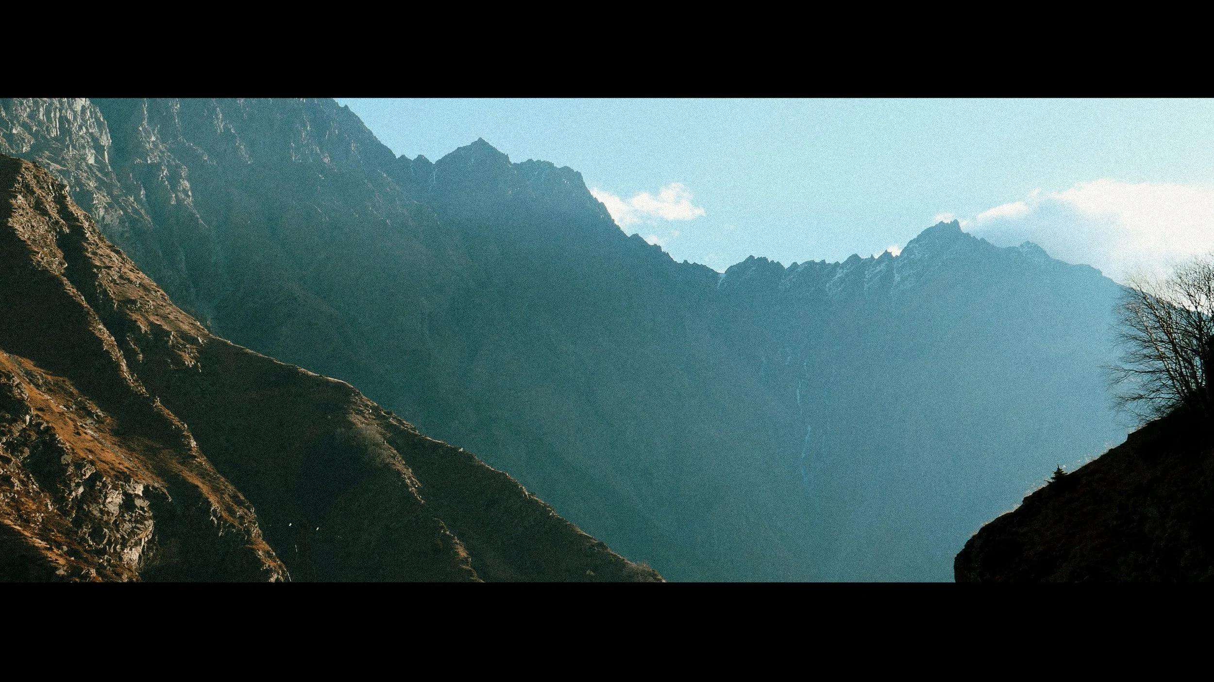
he village of Juta is one of the highest settlements (2200 m) in the municipality of Kazbegi, and is located 24 km from Stepantsminda (8 km of paved road, and the remainder is a dirt road). The Chaukhi mountain range, located near the village, is situated on the main ridge of the Caucasus mountain range, at the source of the river Bakurkhevi.